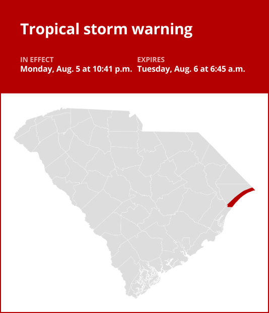
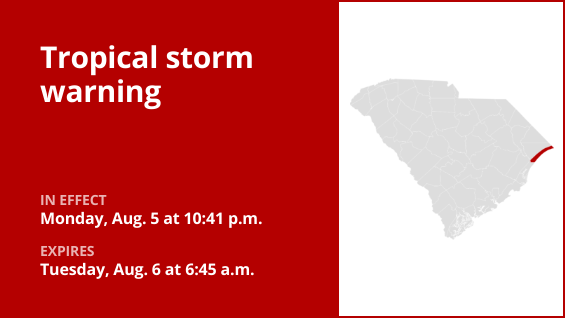
An updated tropical storm warning was issued by the National Weather Service on Thursday at 11:07 a.m. in effect until 7:15 p.m. for Horry County.
According to the weather service, “* LOCATIONS AFFECTED – Surfside Beach – Myrtle Beach – North Myrtle Beach * WIND – LATEST LOCAL FORECAST: Below tropical storm force wind – Peak Wind Forecast: 25-35 mph with gusts to 45 mph – THREAT TO LIFE AND PROPERTY THAT INCLUDES TYPICAL FORECAST UNCERTAINTY IN TRACK, SIZE AND INTENSITY: Potential for wind 39 to 57 mph – The wind threat has remained nearly steady from the previous assessment. – PLAN: Plan for hazardous wind of equivalent tropical storm force. – PREPARE: Last minute efforts to protect property should now be complete. The area remains subject to limited wind damage. – ACT: Now is the time to shelter from hazardous wind. – POTENTIAL IMPACTS: Unfolding – Potential impacts from the main wind event are unfolding. * STORM SURGE – No storm surge inundation forecast – THREAT TO LIFE AND PROPERTY THAT INCLUDES TYPICAL FORECAST UNCERTAINTY IN TRACK, SIZE AND INTENSITY: Little to no storm surge flooding – The storm surge threat has decreased from the previous assessment. – PLAN: The threat from storm surge is diminishing as flood waters recede. – PREPARE: Heed instructions from local officials when moving about. Do not enter flooded areas. – ACT: Exercise safety. – REALIZED IMPACTS: Being Assessed – Little to no additional surge impacts expected. Community officials are now assessing the extent of actual surge impacts accordingly. * FLOODING RAIN – LATEST LOCAL FORECAST: Flood Watch is in effect – Peak Rainfall Amounts: Additional 3-6 inches, with locally higher amounts – THREAT TO LIFE AND PROPERTY THAT INCLUDES TYPICAL FORECAST UNCERTAINTY IN TRACK, SIZE AND INTENSITY: Potential for major flooding rain – The flooding rain threat has decreased from the previous assessment. – PLAN: Emergency plans should include the potential for major flooding from heavy rain. Evacuations and rescues are likely. – PREPARE: Strongly consider protective actions, especially if you are in an area vulnerable to flooding. – ACT: Heed any flood watches and warnings. Failure to take action will likely result in serious injury or loss of life. – POTENTIAL IMPACTS: Extensive – Major flooding from rainfall may prompt evacuations and numerous rescues. – Rivers and streams may rapidly overflow their banks in multiple places. Creeks and ditches will flood and may contain strong currents. – Flood waters may enter many structures, and some may become uninhabitable. Some road scours or complete road failures will be possible, along with the potential for sinkholes. Many streets and parking lots may flood, and may be impacted by flowing water. Many road and low-lying bridge closures are possible with some weakened or washed away. Driving conditions will be dangerous. – The delivery of drinking water and sewer services may be interrupted. Flood waters may be polluted and contain hazardous materials. * TORNADO – LATEST LOCAL FORECAST: – Situation is unfavorable for tornadoes – THREAT TO LIFE AND PROPERTY THAT INCLUDES TYPICAL FORECAST UNCERTAINTY IN TRACK, SIZE AND INTENSITY: Tornadoes not expected – The tornado threat has decreased from the previous assessment. – PLAN: Tornadoes are not expected. Showers and thunderstorms with gusty winds may still occur. – PREPARE: Little to no preparations needed to protect against tornadoes at this time. Keep informed of the latest tornado situation. – ACT: Listen for changes in the forecast. – POTENTIAL IMPACTS: Little to None – Little to no potential impacts from tornadoes.”
This warning is in effect until 7:15 p.m.


