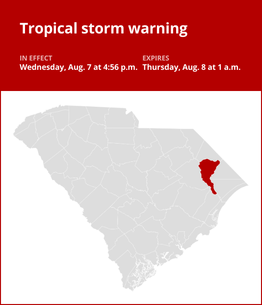
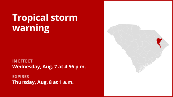
The National Weather Service issued an updated tropical storm warning at 4:55 a.m. on Thursday in effect until 1 p.m. for Marion County.
According to the weather service, “* LOCATIONS AFFECTED – Marion – Mullins * WIND – LATEST LOCAL FORECAST: Below tropical storm force wind – Peak Wind Forecast: 15-25 mph with gusts to 35 mph – THREAT TO LIFE AND PROPERTY THAT INCLUDES TYPICAL FORECAST UNCERTAINTY IN TRACK, SIZE AND INTENSITY: Potential for wind 39 to 57 mph – The wind threat has decreased from the previous assessment. – PLAN: Plan for hazardous wind of equivalent tropical storm force. – PREPARE: Remaining efforts to protect property should be completed as soon as possible. Prepare for limited wind damage. – ACT: Move to safe shelter before the wind becomes hazardous. – POTENTIAL IMPACTS: Limited – Damage to porches, awnings, carports, sheds, and unanchored mobile homes is possible. Unsecured lightweight objects may be blown about. – Some large limbs may break from trees. A few shallow rooted or weak trees may snap or be knocked down. Some fences and roadway signs will be damaged. – A few roads may become impassable due to debris, particularly within urban or heavily wooded places. Hazardous driving conditions are possible, especially for high profile vehicles on bridges and other elevated roadways. – Scattered power and communications outages are possible. * FLOODING RAIN – LATEST LOCAL FORECAST: Flood Watch is in effect – Peak Rainfall Amounts: Additional 2-4 inches, with locally higher amounts – THREAT TO LIFE AND PROPERTY THAT INCLUDES TYPICAL FORECAST UNCERTAINTY IN TRACK, SIZE AND INTENSITY: Potential for extreme flooding rain – The flooding rain threat has remained nearly steady from the previous assessment. – PLAN: Emergency plans should include the potential for extreme flooding from heavy rain. Evacuations and rescues are likely. – PREPARE: Urgently consider protective actions from extreme and widespread rainfall flooding. – ACT: Heed any flood watches and warnings. Failure to take action will likely result in serious injury or loss of life. – POTENTIAL IMPACTS: Devastating to Catastrophic – Extreme flooding from rainfall may prompt numerous evacuations and rescues. – Rivers and streams may overwhelmingly overflow their banks with deep moving water. Creeks and ditches will become severely flooded and contain strong currents. – Flood waters may enter numerous structures, and some may become uninhabitable or washed away. Road scours or complete road failure is likely in many locations, along with the potential for sinkholes. Many streets and parking lots will flood, and may be impacted by swift, flowing water. Numerous road and low-lying bridge closures are likely with some weakened or washed away. Driving conditions will be very dangerous. – The delivery of drinking water and sewer services may be interrupted. Flood waters may be polluted and contain hazardous materials. * TORNADO – LATEST LOCAL FORECAST: – Situation is somewhat favorable for tornadoes – THREAT TO LIFE AND PROPERTY THAT INCLUDES TYPICAL FORECAST UNCERTAINTY IN TRACK, SIZE AND INTENSITY: Potential for a few tornadoes – The tornado threat has remained nearly steady from the previous assessment. – PLAN: Emergency plans should include the potential for a few tornadoes. – PREPARE: If your shelter is particularly vulnerable to tornadoes, prepare to relocate to safe shelter before hazardous weather arrives. – ACT: If a tornado warning is issued, be ready to shelter quickly. – POTENTIAL IMPACTS: Limited – The occurrence of isolated tornadoes can hinder preparedness actions during tropical events. – A few places may experience tornado damage, along with power and communications disruptions. – Tornadoes can cause damage to trees, vehicles, boats, and buildings. Unsecured mobile homes and poorly constructed structures are particularly vulnerable.”
This warning is in effect until 1 p.m.


