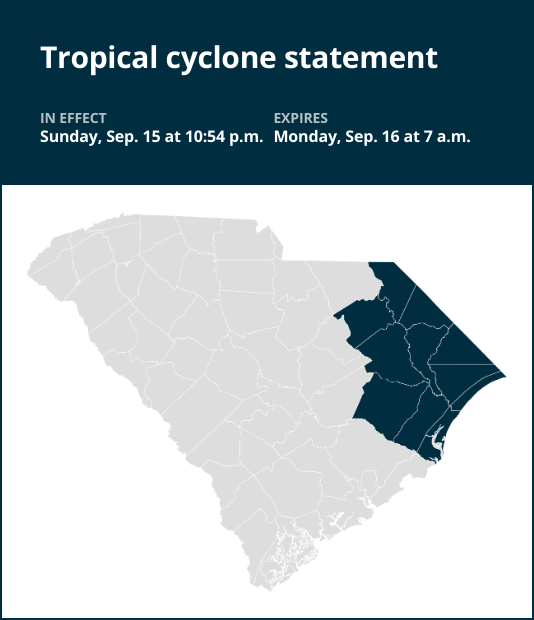
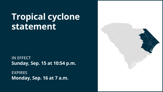
The statement was for Dillon, Florence, Marion, Williamsburg, Horry and Georgetown counties.
The following information is provided by the National Weather Service:
This product covers southeast North Carolina and northeast South Carolina STORM INFORMATION: – About 60 miles west-southwest of Wilmington NC or about 10 miles north-northeast of Myrtle Beach SC – 33.9N 78.8W – Storm Intensity 35 mph – Movement North-northwest or 335 degrees at 7 mph SITUATION OVERVIEW —————— The center of Potential Tropical Cyclone Eight has moved onshore thus the low pressure area will not develop into a subtropical or tropical storm, thus the tropical storm warning has been canceled. The threat of flooding rains continue mainly over Southeast North Carolina through Tuesday Morning. Marine threats of coastal flooding and a high rip current threat will remain through 8 p.m. tonight. A high surf advisory is in effect until 8 a.m. Tuesday. This will be the last Hurricane Local Statement on Potential Tropical Storm 8. POTENTIAL IMPACTS —————– * FLOODING RAIN: A flood watch continues for Southeast North Carolina and additional rainfall amounts of 2 to 4′ are possible mainly north of a Lumberton to Wilmington line through 8 a.m. Tuesday OTHER COASTAL HAZARDS: High surf conditions will continue into Tuesday morning and minor coastal flooding is possible at high tide this evening Be a good neighbor and check on those living next to you. Be neighborly and lend a helping hand. Do not go sightseeing within impacted communities simply to observe storm damage. Sightseers can interfere with the timeliness of rescuers and first responders to needlessly jeopardize lives.


