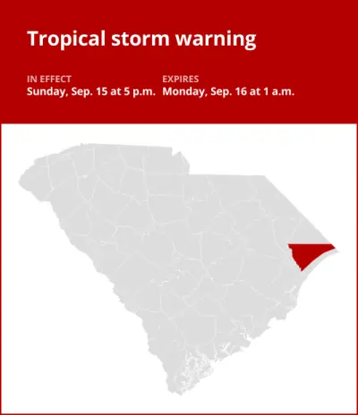
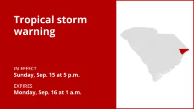
On Monday at 11:03 a.m. an updated tropical storm warning was issued by the National Weather Service in effect until 7:15 p.m. for Horry County.
The following information is provided by the weather service:
* LOCATIONS AFFECTED
– Conway
– Longs
* WIND
– LATEST LOCAL FORECAST: Equivalent Tropical Storm force wind
– Peak Wind Forecast: 30-40 mph with gusts to 45 mph
– Window for Tropical Storm force winds: through the next few hours
– THREAT TO LIFE AND PROPERTY THAT INCLUDES TYPICAL FORECAST UNCERTAINTY IN TRACK, SIZE AND INTENSITY: Potential for wind 39 to 57 mph
– The wind threat has remained nearly steady from the previous assessment.
– PLAN: Plan for hazardous wind of equivalent tropical storm force.
– PREPARE: Last minute efforts to protect property should now be complete. The area remains subject to limited wind damage.
– ACT: Now is the time to shelter from hazardous wind.
– POTENTIAL IMPACTS: Unfolding
– Potential impacts from the main wind event are unfolding.
* STORM SURGE
– No storm surge inundation forecast
– THREAT TO LIFE AND PROPERTY THAT INCLUDES TYPICAL FORECAST UNCERTAINTY IN TRACK, SIZE AND INTENSITY: Little to no storm surge flooding
– The storm surge threat has remained nearly steady from the previous assessment.
– PLAN: There is little to no threat of storm surge flooding. Rough surf, coastal erosion, and life-threatening rip currents are possible.
– PREPARE: Little to no preparations for storm surge flooding are needed.
– ACT: Follow the instructions of local officials. Monitor forecasts.
– POTENTIAL IMPACTS: Little to None
– Little to no potential impacts from storm surge flooding.
* FLOODING RAIN
– LATEST LOCAL FORECAST: Flood Watch is in effect
– Peak Rainfall Amounts: Additional 1-3 inches, with locally higher amounts
– THREAT TO LIFE AND PROPERTY THAT INCLUDES TYPICAL FORECAST UNCERTAINTY IN TRACK, SIZE AND INTENSITY: Potential for major flooding rain
– The flooding rain threat has remained nearly steady from the previous assessment.
– PLAN: Emergency plans should include the potential for major flooding from heavy rain. Evacuations and rescues are likely.
– PREPARE: Strongly consider protective actions, especially if you are in an area vulnerable to flooding.
– ACT: Heed any flood watches and warnings. Failure to take action will likely result in serious injury or loss of life.
– POTENTIAL IMPACTS: Extensive
– Major flooding from rainfall may prompt evacuations and numerous rescues.
– Rivers and streams may rapidly overflow their banks in multiple places. Creeks and ditches will flood and may contain strong currents.
– Flood waters may enter many structures, and some may become uninhabitable. Some road scours or complete road failures will be possible, along with the potential for sinkholes. Many streets and parking lots may flood, and may be impacted by flowing water. Many road and low-lying bridge closures are possible with some weakened or washed away. Driving conditions will be dangerous.
– The delivery of drinking water and sewer services may be interrupted. Flood waters may be polluted and contain hazardous materials.
* TORNADO
– LATEST LOCAL FORECAST:
– Situation is somewhat favorable for tornadoes
– THREAT TO LIFE AND PROPERTY THAT INCLUDES TYPICAL FORECAST UNCERTAINTY IN TRACK, SIZE AND INTENSITY: Potential for a few tornadoes
– The tornado threat has remained nearly steady from the previous assessment.
– PLAN: Emergency plans should continue to include possible tornadoes.
– PREPARE: Stay within your shelter keeping informed of the latest tornado situation.
– ACT: Move quickly to the safest place within your shelter if a tornado warning is issued.
– POTENTIAL IMPACTS: Limited
– The occurrence of isolated tornadoes can hinder preparedness actions during tropical events.
– A few places may experience tornado damage, along with power and communications disruptions.
– Tornadoes can cause damage to trees, vehicles, boats, and buildings. Unsecured mobile homes and poorly constructed structures are particularly vulnerable.
This warning is in effect until 7:15 p.m.
