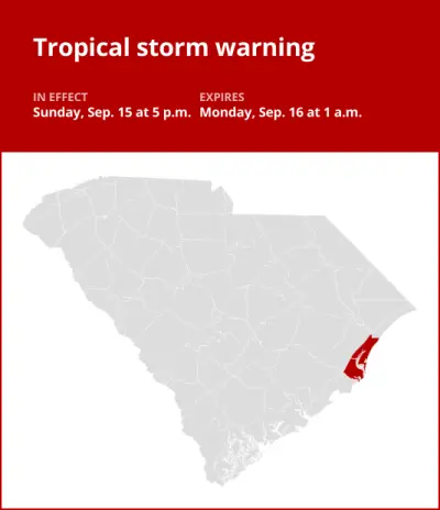
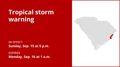
On Monday at 11:03 a.m. an updated tropical storm warning was issued by the National Weather Service in effect until 7:15 p.m. for Georgetown County.
The following information is provided by the weather service:
* LOCATIONS AFFECTED
– Georgetown
– Murrells Inlet
* WIND
– LATEST LOCAL FORECAST: Below tropical storm force wind
– Peak Wind Forecast: 25-35 mph with gusts to 45 mph
– THREAT TO LIFE AND PROPERTY THAT INCLUDES TYPICAL FORECAST UNCERTAINTY IN TRACK, SIZE AND INTENSITY: Potential for wind 39 to 57 mph
– The wind threat has remained nearly steady from the previous assessment.
– PLAN: Plan for hazardous wind of equivalent tropical storm force.
– PREPARE: Last minute efforts to protect property should now be complete. The area remains subject to limited wind damage.
– ACT: Now is the time to shelter from hazardous wind.
– POTENTIAL IMPACTS: Unfolding
– Potential impacts from the main wind event are unfolding.
* STORM SURGE
– LATEST LOCAL FORECAST: Localized storm surge possible
– Peak Storm Surge Inundation: The potential for 1-3 feet above ground somewhere within surge prone areas
– Window of concern: through early Tuesday morning
– THREAT TO LIFE AND PROPERTY THAT INCLUDES TYPICAL FORECAST UNCERTAINTY IN TRACK, SIZE AND INTENSITY: Potential for storm surge flooding greater than 1 foot above ground
– The storm surge threat has remained nearly steady from the previous assessment.
– PLAN: Shelter against storm surge flooding greater than 1 foot above ground.
– PREPARE: All flood preparations should be complete. Expect flooding of low-lying roads and property.
– ACT: Stay away from storm surge prone areas. Continue to follow the instructions of local officials.
– POTENTIAL IMPACTS: Unfolding
– Potential impacts from the main surge event are unfolding.
* FLOODING RAIN
– LATEST LOCAL FORECAST: Flood Watch is in effect
– Peak Rainfall Amounts: Additional around 1 inch
– THREAT TO LIFE AND PROPERTY THAT INCLUDES TYPICAL FORECAST UNCERTAINTY IN TRACK, SIZE AND INTENSITY: Potential for moderate flooding rain
– The flooding rain threat has remained nearly steady from the previous assessment.
– PLAN: Emergency plans should include the potential for moderate flooding from heavy rain. Evacuations and rescues are possible.
– PREPARE: Consider protective actions if you are in an area vulnerable to flooding.
– ACT: Heed any flood watches and warnings. Failure to take action may result in serious injury or loss of life.
– POTENTIAL IMPACTS: Significant
– Moderate flooding from rainfall may prompt some evacuations and rescues.
– Rivers and streams may rise and overspill their banks in a few places, especially in the typical prone locations. Small creeks and ditches may overflow.
– Flood waters may enter some structures. Underpasses, low-lying spots along roadways, and poor drainage areas may become submerged by rising water. Some secondary streets and parking lots may flood as storm drains and retention ponds overflow.
– Driving conditions will become hazardous, and some road closures can be expected.
* TORNADO
– LATEST LOCAL FORECAST:
– Situation is unfavorable for tornadoes
– THREAT TO LIFE AND PROPERTY THAT INCLUDES TYPICAL FORECAST UNCERTAINTY IN TRACK, SIZE AND INTENSITY: Tornadoes not expected
– The tornado threat has remained nearly steady from the previous assessment.
– PLAN: Tornadoes are not expected. Showers and thunderstorms with gusty winds may still occur.
– PREPARE: Little to no preparations needed to protect against tornadoes at this time. Keep informed of the latest tornado situation.
– ACT: Listen for changes in the forecast.
– POTENTIAL IMPACTS: Little to None
– Little to no potential impacts from tornadoes.
This warning is in effect until 7:15 p.m.
